Are you eyeing a tear-down or custom build on Sarasota Bay? The water views are breathtaking, but the shoreline rules, flood elevations, and dock limits can make or break your plans. You want to avoid costly surprises, protect future value, and design a home that fits the bayfront lifestyle. This guide walks you through the key factors, the permits that matter, and the due diligence steps to take before you buy. Let’s dive in.
What drives value on bayfront lots
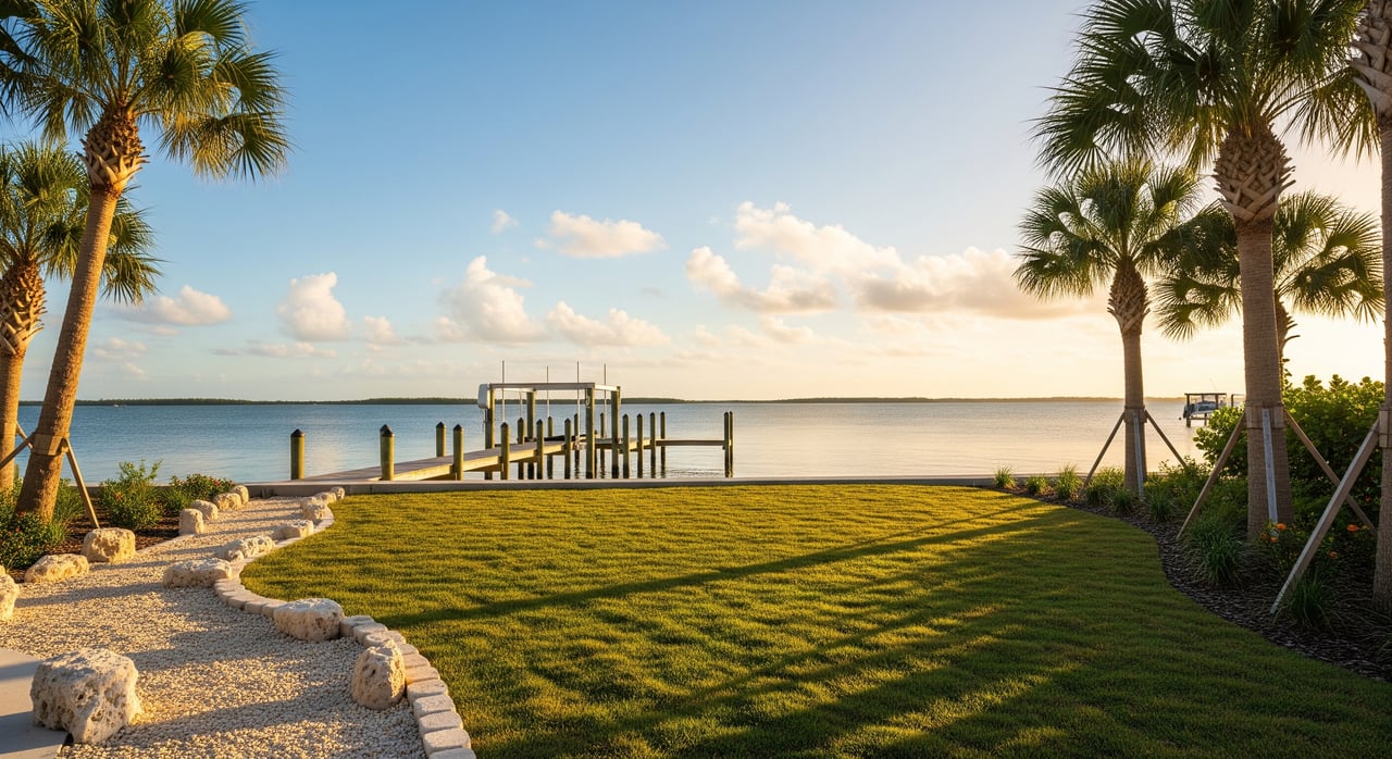
Sarasota Bay lots are not all the same. Buildability, dock potential, and long-term resilience depend on a mix of regulations, site conditions, and boating access. Your goal is to confirm what you can build, how you will use the water, and what it will cost to get there.
Start by looking at three pillars: the regulatory framework for shoreline work and docks, the physical characteristics of the land, and the marine access that affects your boat size and daily use.
Know the rules before you plan
State and federal oversight
In Florida, shoreline work and docks usually need approvals from the Florida Department of Environmental Protection and the U.S. Army Corps of Engineers. Activities that affect navigable waters and wetlands trigger federal review, and state rules apply to work seaward of the mean high water line. Expect coordination across agencies for docks, seawalls, and any fill or piling.
County and city permits
Sarasota County and the City of Sarasota add building codes, zoning setbacks, and coastal construction rules. Local requirements also cover utilities, stormwater, and tree or mangrove care. These local layers shape your building envelope and can affect timelines.
Sovereign lands and riparian rights
You do not own the submerged lands seaward of mean high water. The state manages those sovereign lands, and most docks or structures over them need a state authorization or lease, along with permits. You have riparian rights for access and reasonable use, but those rights are limited by conservation and navigation laws.
Protected habitats and timing
Mangroves, seagrass beds, and oyster bars are protected resources. Trimming or removing mangroves typically needs permits and may require mitigation. Manatee protections and sea turtle seasons can control boat speeds, dock lighting, and when construction can occur. Early planning helps you avoid timing conflicts and redesigns.
Seawalls versus living shorelines
Hardened structures like seawalls and bulkheads usually require permits and can increase erosion next door or impact seagrass. Living shorelines that use mangroves, oyster reefs, or marsh sills are increasingly encouraged by regulators and can offer long-term resilience. A coastal specialist can help you weigh options for your specific site.
Evaluate the land itself
Survey and waterline location
Order a recent, certified ALTA survey that shows property boundaries, structures, and the mean high water line. Confirm whether your deed stops at the waterline, which is common on the bay, and note any recorded sovereign lands boundaries that could affect dock placement.
Elevation and flood risk
Check FEMA Flood Insurance Rate Maps to identify your Flood Zone, such as AE or VE, and the Base Flood Elevation. Your local building official can confirm the required finished floor elevation and whether you will need elevation certificates. Factor in sea-level rise and nuisance flooding trends as part of long-term planning.
Soils and foundation choices
Coastal lots often include layers of sand over shell or limestone, and nearshore fill can vary. A geotechnical investigation with borings should come before you commit to design or demolition. The soil report guides pile depth, foundation type, and seawall feasibility, which directly affects cost and schedule.
Shoreline type and condition
Document the existing shoreline. Note whether there is a seawall, bulkhead, or a natural edge with mangroves or dunes. Look for signs of erosion, settlement, or prior repairs and gather any past permits or as-builts. The current condition influences what you can replace and what mitigation might be required.
Utilities and stormwater needs
Confirm potable water and whether the lot is on central sewer or requires a tie-in. Understand stormwater rules for the site, including any lot-level retention or erosion control during construction. Utility availability can shift budgets and timing.
Orientation, sun, and wind
Lot orientation shapes views, outdoor living spaces, and energy performance. Consider morning versus evening sun, prevailing afternoon breezes, and existing vegetation that offers shade or privacy. If mangroves are present, remember they are regulated and often cannot be removed without permits.
Access, easements, and rights
Review title work for easements, view corridors, or public access that could limit private use. If the lot sits on a canal system, check HOA or municipal rules for canal maintenance and dredging responsibility. These details affect both use and resale value.
Boating and marine access
Depths and channels
Use nautical charts and local knowledge to understand depths and any shoaling near the lot. Measure usable depth at mean low water for your target vessel draft, not just at high tide. Confirm whether nearby channels are maintained and who is responsible for dredging.
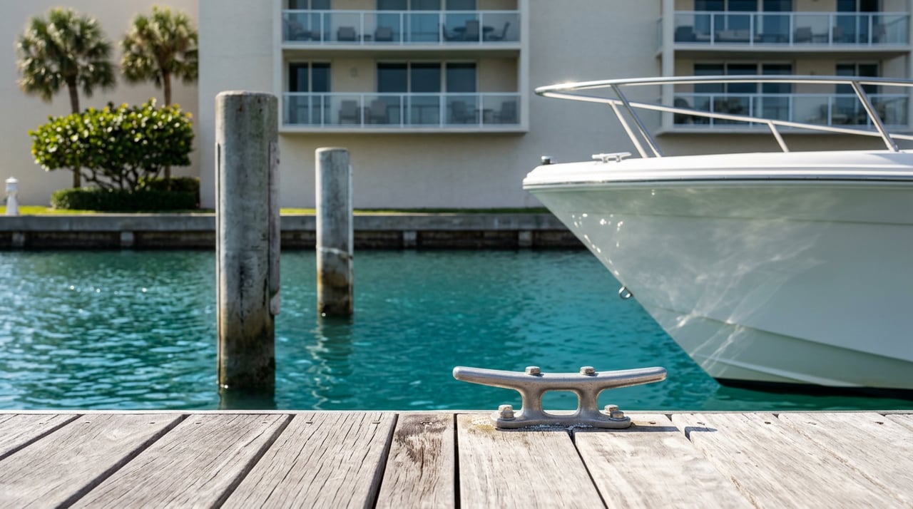
Docks, lifts, and design limits
Dock length, width, piling type, and boat lift options are regulated at multiple levels. Structures over sovereign submerged lands often require a state lease and are limited by impacts to seagrass and navigation. Exposure to wind and open fetch may require more robust design and will influence maintenance.
Bridges and overhead clearance
If your route to open water passes under bridges, check vertical clearance at mean high water and any opening schedules. Bridge limits can define your boat size and style.
Speed zones and sensitive areas
Manatee protection zones and no-wake areas exist in parts of Sarasota Bay. These affect travel time and may guide your choice of boat and dock setup. Plan for seasonal restrictions that can limit construction windows.
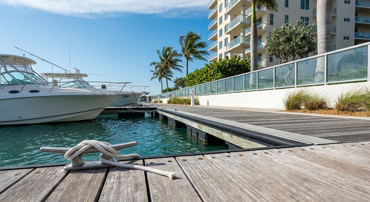
Marinas and service options
Proximity to fuel, service yards, haul-out facilities, and storage improves daily boating logistics. If the site is exposed, a plan for off-site haul-out during storms can be valuable.
Storm and hurricane readiness
Design dock and mooring systems with storm preparation in mind. Quick disconnects, adequate lift capacity, and redundant moorings help protect assets. Review insurance options for docks and boats, which may depend on attachment and elevation details.
Due diligence roadmap
Key documents to gather
- Certified survey showing boundaries, structures, and mean high water
- FEMA flood map panel, Flood Zone, and any elevation certificates
- Zoning designation, setbacks, building envelope, and coastal overlays
- Prior shoreline and dock permits, with any as-built drawings
- Utility availability letters and stormwater requirements
- HOA covenants and architectural guidelines, if applicable
- Title report with easements and restrictions
- Historical aerials and any channel maintenance records
Experts to engage early
- Licensed land surveyor to verify boundaries and waterline
- Geotechnical engineer for borings and a soil report
- Coastal engineer or marine contractor for docks and shoreline options
- Local builder with coastal code experience for realistic budgets
- Environmental or permit specialist for complex leases or mitigation
- Title attorney to review riparian rights and conveyance language
Smart questions to ask
- What finished floor elevation is required by FEMA and the county?
- Does the seawall or shoreline have permits, and what is needed for replacement?
- What foundation type will the soil report recommend, and how will it affect cost?
- Will dock placement cross sovereign lands that need a state lease?
- What boat size and draft can you accommodate at mean low water without regular dredging?
- Will your plans trigger stormwater, erosion control, or habitat mitigation?
- Are there seasonal limits for marine work tied to seagrass, manatees, turtles, or birds?
Timelines and sequencing
Expect permitting timelines of months for state, federal, and local reviews. Build time for survey, borings, engineering, and agency coordination into your schedule. Getting the team involved early reduces redesigns and keeps the project moving.
Long-term costs and resilience
Maintenance planning
Seawalls and docks require periodic inspections and repairs. Plan for recurring maintenance and eventual replacement in your budget. Living shorelines may lower hard-structure maintenance but still need monitoring and adaptive care.
Insurance and financing
Flood insurance costs, building elevation, and Flood Zone designation influence mortgages and carrying costs. Lenders often have added requirements for coastal construction, so working with local experts can speed approvals.
Climate and neighborhood trends
Sea-level rise and storm surge risk are part of long-term value and insurability. Review local adaptation plans and watch for public shoreline projects that could change views or access. Proximity to marinas, ramps, and protected embayments can enhance market appeal.
How The Meyer Team helps
Choosing the right Sarasota Bay lot takes coordination, technical insight, and local relationships. You benefit from advisors who understand sovereign lands rules, flood maps, dock permitting, and coastal construction practices. As boutique waterfront specialists, we connect you with the right surveyors, engineers, marine contractors, and builders, then keep the process organized so you can focus on design and lifestyle.
When you are ready to evaluate a specific property or compare options across Longboat Key, Siesta Key, and the Sarasota mainland, we will tailor a due diligence plan to your goals and timing. If you want a quiet cove for paddleboarding, or quick access to open water for a larger vessel, we will help you confirm the details before you commit.
If you are weighing a tear-down versus a full custom build, we can preview lots, review past permits, and coordinate the experts you need to proceed with confidence. Reach out to Jenine & Bruce Meyer to start a focused, step-by-step evaluation.
FAQs
Who owns the water in front of a Sarasota Bay lot?
- In Florida, submerged lands seaward of mean high water are sovereign and managed by the state, and upland owners have riparian rights but usually need state authorization to place docks or structures.
Can you build any size dock on Sarasota Bay?
- No, dock size and placement are limited by state, federal, and local rules, including protections for seagrass and navigation, and permits with possible mitigation are typically required.
How do you know if your boat will fit?
- Confirm depth at mean low water, the presence and maintenance of nearby channels, overhead bridge clearances, and local speed or manatee zones, then verify with a coastal or marine specialist.
Can you replace an old seawall on a bayfront lot?
- Possibly, but replacement usually needs local and state permits and may require mitigation, and some sites are better suited to living shoreline solutions that regulators often prefer.
Do you need a soil report before buying a waterfront lot?
- Yes, a geotechnical investigation with borings informs foundation type and cost, guides seawall feasibility, and can reveal constraints that affect the project’s viability.